
Services
Land Surveying & Boundary Mapping
Accurate GPS and Total Station surveys for residential, commercial and agricultural land, with Land Registry compliant maps.
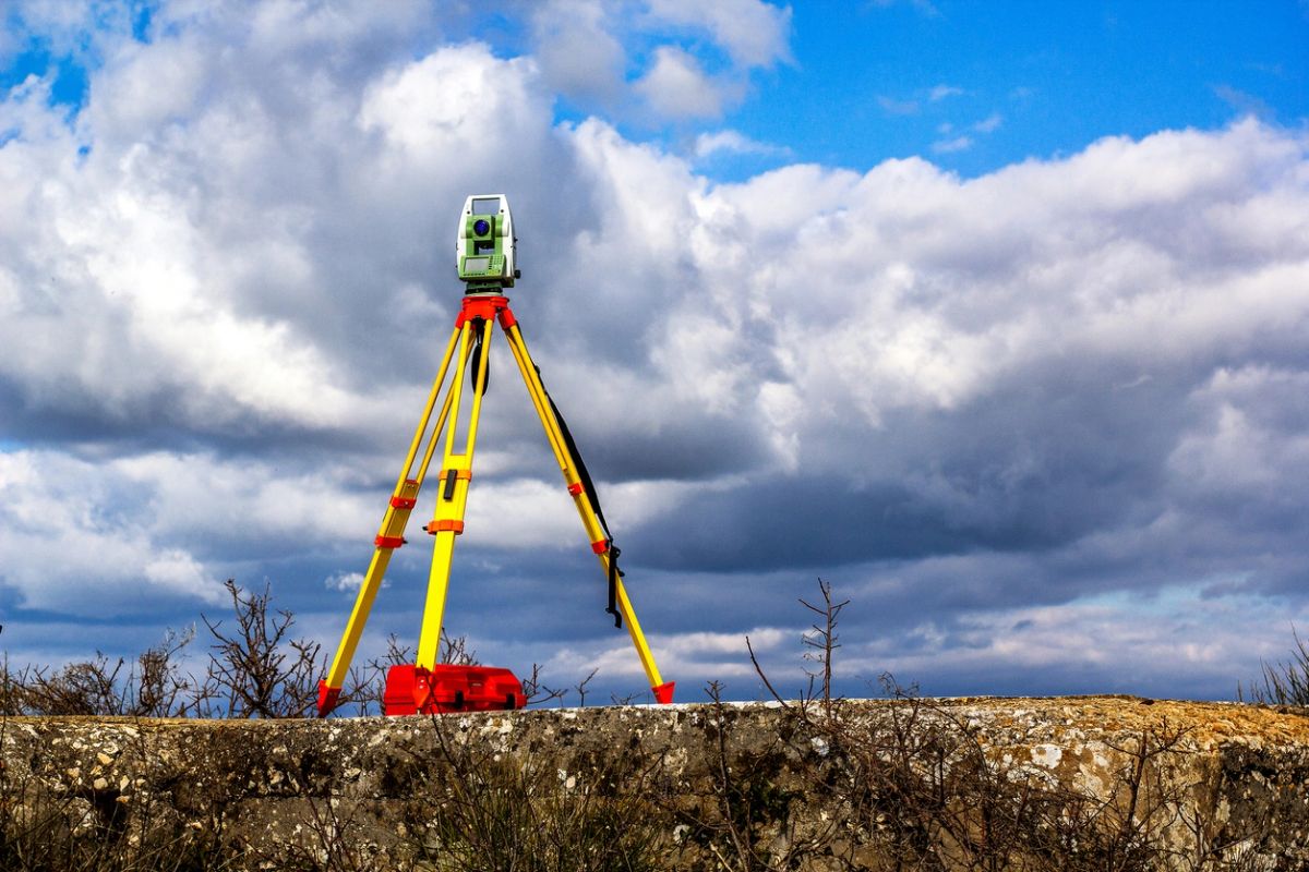
Selling a site, splitting a farm or sorting out a boundary? We survey with survey-grade GPS and Total Station equipment and prepare maps that meet Tailte Éireann (Land Registry) requirements.
What's included
- Topographical and site level surveys
- Boundary disputes and boundary mapping
- Land Registry (Tailte Éireann) compliant maps
- Folio mapping and sub-division of land
- Setting out for builders
FAQ
Land Surveying & Boundary Mapping: 10 questions answered
What land surveying services does AES offer?
+
Topographical surveys, boundary surveys, site layouts, measured building surveys and setting out for construction.
What is a topographical survey?
+
A detailed map of a site's levels and features, such as ground heights, buildings, trees, ditches and services, used for design and planning.
Do I need a survey for a planning application?
+
Usually yes. Accurate site layouts and levels are needed to show the house position, access, sightlines and wastewater system.
Can you help with boundary disputes?
+
We can survey existing boundaries and compare them with Land Registry maps to give clear, measured information for you and your solicitor.
What is a Land Registry compliant map?
+
A map prepared to Tailte Éireann (Property Registration) standards for registering or transferring land, such as when dividing a farm or selling a site.
What is a measured building survey?
+
An accurate set of existing floor plans and elevations, used for renovations, extensions or property records.
What does setting out involve?
+
We mark the exact position and levels of a new building on site so the builder constructs it where planning allows.
What equipment do you use?
+
Modern GPS and total station equipment that gives accurate, repeatable measurements.
Do you survey farms and large rural sites?
+
Yes. Farm land, site splits and rural plots across Galway, Mayo and Roscommon are a regular part of our work.
How long does a land survey take?
+
Most house sites are surveyed in a day, with drawings soon after. Larger areas take longer; we'll give a timeline with your quote.
Areas we cover
Local to Galway, Mayo and Roscommon.
Co. Galway
Tuam · Galway City · Headford · Athenry · Dunmore · Glenamaddy · Moylough
Co. Mayo
Ballindine · Claremorris · Castlebar · Ballyhaunis · Knock · Kiltimagh · Balla
Co. Roscommon
Castlerea · Ballinlough · Cloonfad · Ballymoe · Williamstown
Planning a build, buying a home?
Tell us about your project and get a free, no-obligation quote.